Enjoy Nature and History at Río Guajataca Recreation Area
Nestled along the northwestern coast of Puerto Rico lies a hidden gem that promises an great day for nature enthusiasts and beach lovers alike. The Área Recreativa (Recreation Area) Río Guajataca in Quebradillas is a local secret! The area is great for cooling down on hot days, and there are a number of neat things to do, like walking through forests to historic sites and nature photography.
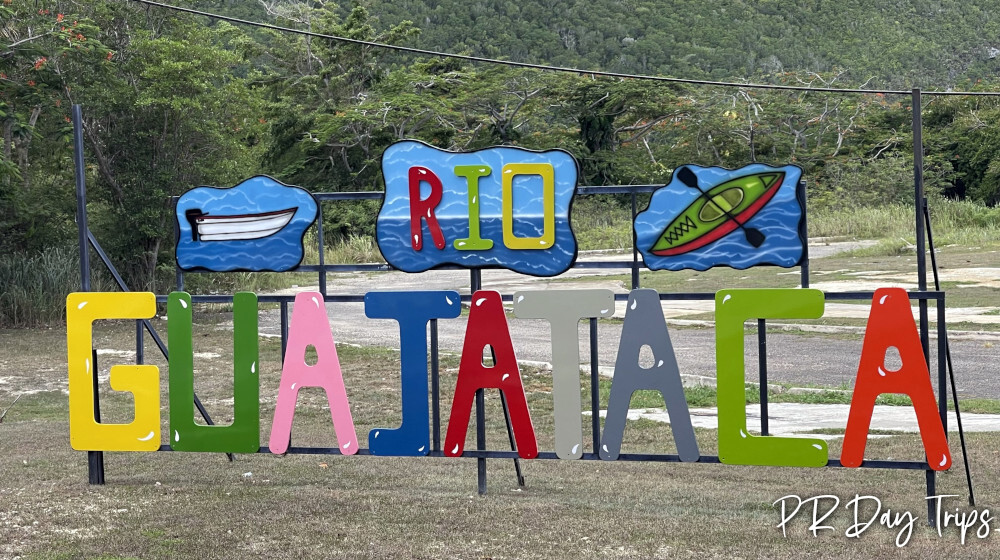
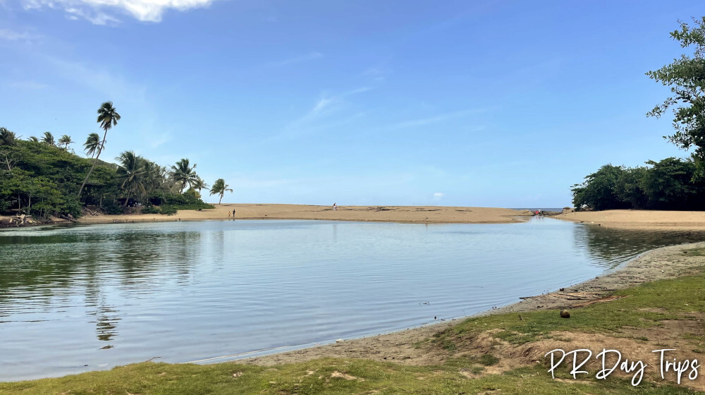
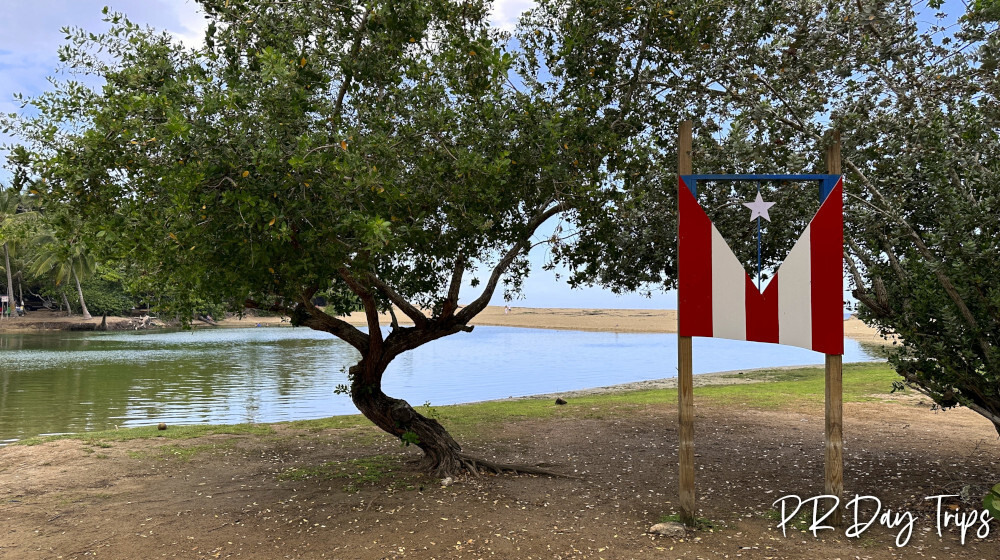
The Río Guajataca is the boundary between the towns of Quebradillas and Isabela. These towns are located on the north west coast of Puerto Rico, just 90 minutes west of San Juan. On the Quebradillas side, there is the recreation area, where there is a little area for campsites (though there are NO facilities). You can set up your tent or small trailer and enjoy the beach, or just drive in and park for the day. There is a beach here, though it is not safe for swimming. There are many pretty rocks and the occasional tide pool to explore. The river is right here, which is where you can swim or put in your kayak, SUP, or even fish. Also, from the south-east corner of this recreation area you’ll find a trail that you can take to explore the wet forest and other neat things!
Wet Forest Trail
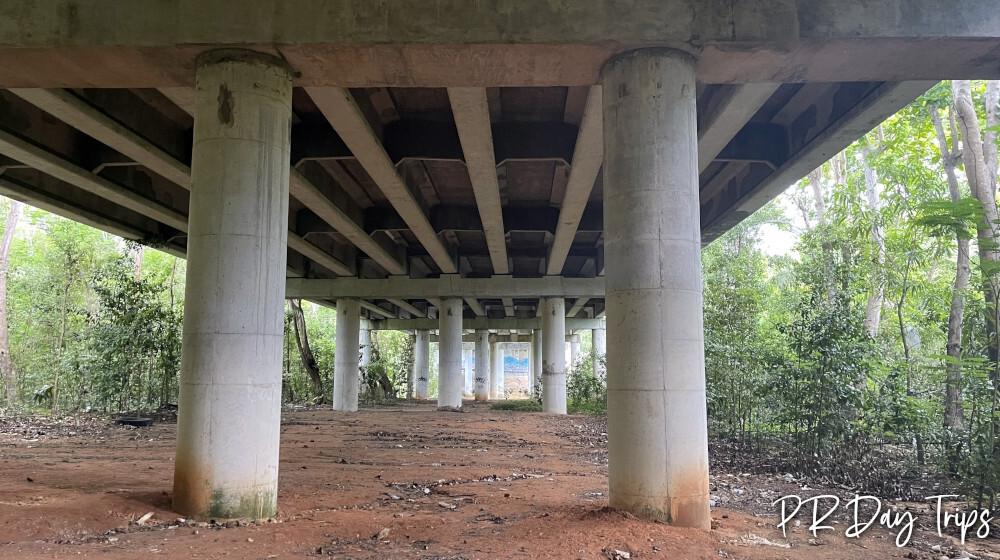
Our goal was to explore the wet forest walk. It starts with a trail head sign for the Humedal Boscoso se Agua Dulce (freshwater wet forest) area, but no map. The trail was pretty obvious, and really, with the large road overpass and the river right there, it would be hard to get lost! Luckily for us, it had not rained much in recent weeks, so the area was actually dry. We did not notice many bugs/mosquitoes, and I am sure this trail gets flooded or very muddy at times, so plan your footwear and bug repellent accordingly!
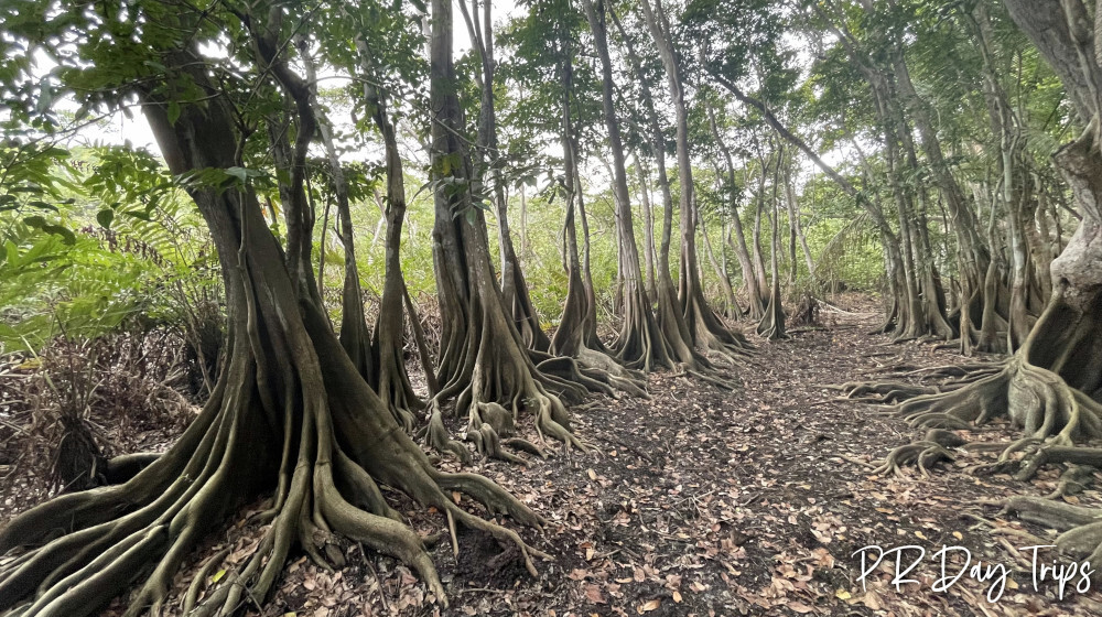
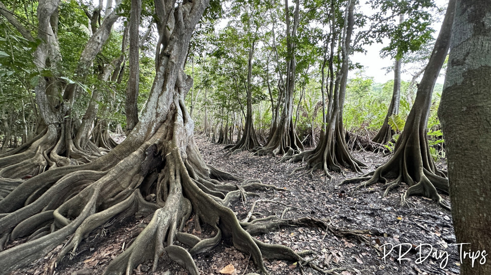
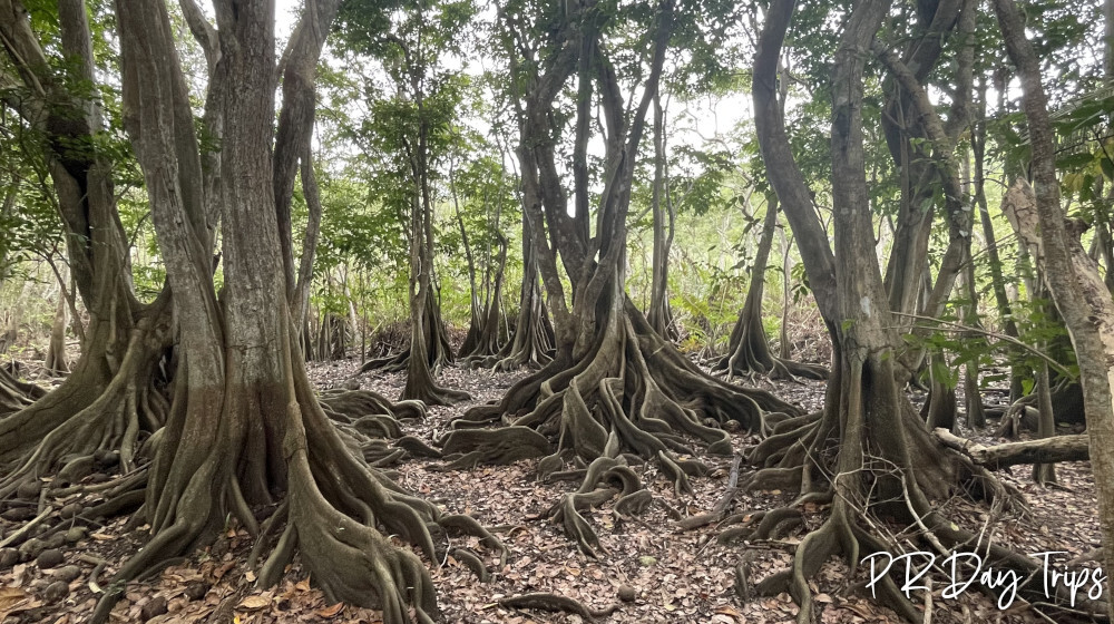
It is a packed earth trail through native flora and fauna. You will see land crabs, lizards and birds along the way. I loved the Pterocarpus trees and their beautiful roots. There was an old sign there (in Spanish), but it was very dirty and hard to read. It explains about the trees. Once we passed those, we kept going. At the Y, we went straight and explored a little under the overpass. You can go two ways here – we wanted to see the old iron train bridge, so we went to the left – toward the river. The bridge is to the north a bit. Had you gone to the right at the Y in the trail, you would have ended up closer to the bridge with easier navigation.
The bridge was constructed in 1896 for the train to cross the river. Currently, it is not in use and it is decorated with flags. It seems like there used to be a real trail here, as we found a boardwalk and an old wooden platform to view the bridge. You can see the bridge easier from the street if you were to have gotten off at the next exit off or Route 2 (the one for the Guajataca Tunnel).
We didn’t do it but I believe if you go back to under the overpass and walk a little to the east, you should be able to connect to the trail that leads to the old train tunnel – Tunel Negro. That trail also goes along the river, it is very pretty. And if you want to cool down along that trail, there are trees with rope swings, so you can swing into the river below.
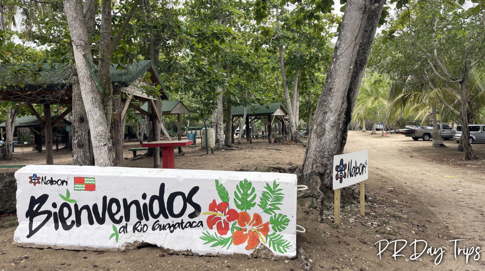
Back at the parking lot, if you walk toward the beach, it is easier to cross the river and visit the beach on the Isabela (left) side. It is a little nicer and it has palm trees for shade, the occasional food kiosk. A great place to lay out your towels, bask in the sun, and listen to the soothing sounds of the waves. There is a company that rents kayaks and pedal boats, and also offers guided kayak tours of the river. Via the river, you would get a great view of the old railroad bridge and be able to enjoy the pretty river.
Also, you may then want to walk over and explore the Guajataca Tunnel, which is a nice waterfront walk along the old train way. There are murals, and on weekends it gets busy with people and vendors – a lively place.
Details
There is no fee to access this area. There are also no facilities.
Visit during daylight hours.
Guajataca Boat Rental operates a concession in the area. See their Facebook page for more info.
You can access this area from Route 2 via the first exit south of the Guajataca Mirador.
Click on a placename below to view the location on Google Maps ...
Puerto Rico Day Trips LLC assumes no responsibility regarding your safety when participating in the activities described in this article. Please use common sense! If your mother or that little voice in your head tells you that you are about to do something stupid … then don't do it!

